
Built by pilots for pilots
Charts, weather and ATC transcription in one flight bag.
FAA sectionals and plates that work offline, a FAR 91.103 preflight briefing, and a beta of ATC transcription on the phone. Free, with no ads.


iPhone, iPad, Mac and Android.
Free, with no ads
The Base plan costs nothing and never shows an ad.
Works with no signal
Downloaded charts, your logbook and ATC transcription run on the device.
FAA charts
Sectionals, IFR low and high, and approach plates.
Phone, tablet and desk
iPhone, iPad, Android and Mac.
What's in the app
What each part does, and which plan it is in.
ATC transcription
Beta. Base 1 hour a month, Pro unlimited
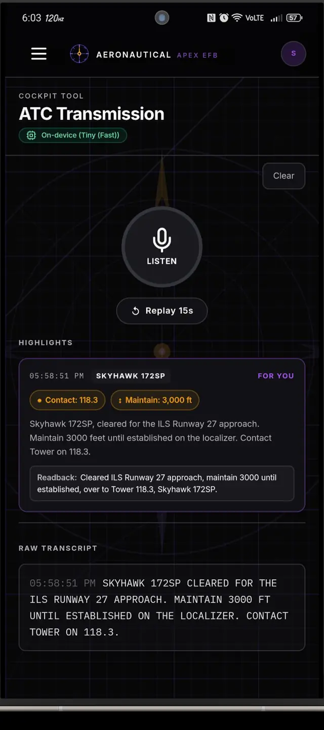
Listens through the phone's microphone and writes clearances, frequencies and instructions as text. It runs on the phone, so it keeps working with no signal.
Charts and moving map
Base. Your position on the plate in Pro
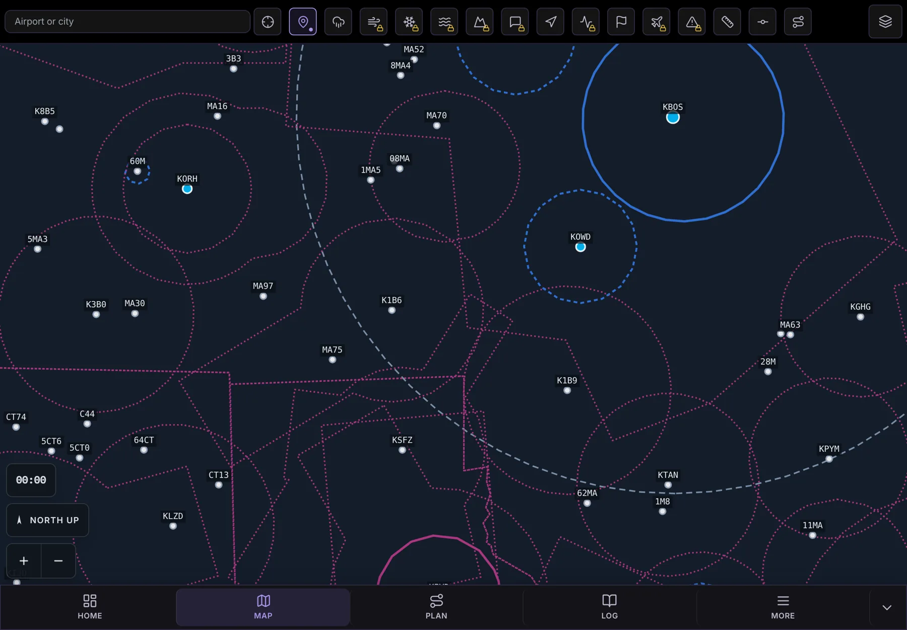
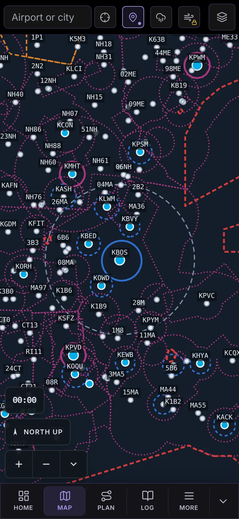
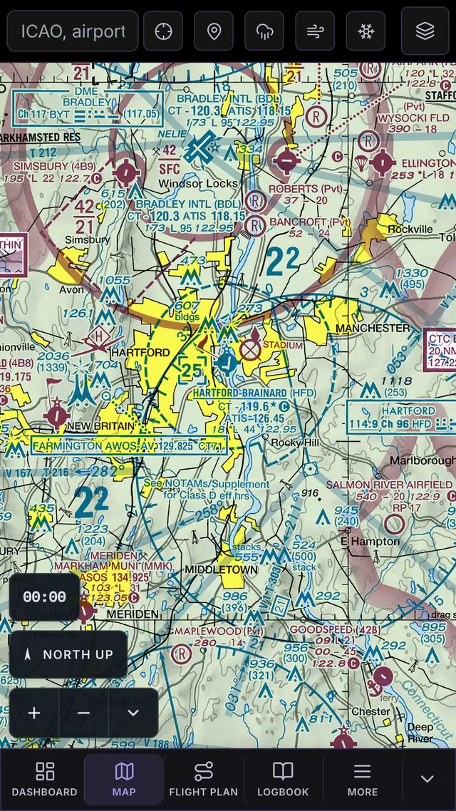
FAA sectionals, IFR low and high, and approach plates, downloaded to the device, with airports, airspace, TFRs, radar and your own position on top.
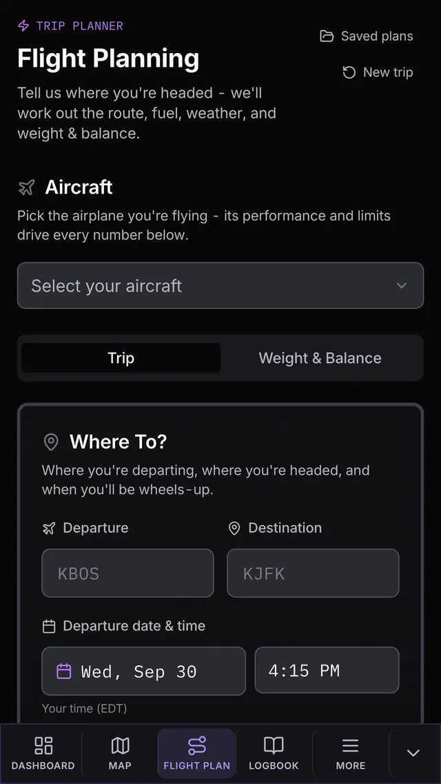
Flight planning and weight and balance
Base
Route, fuel, time, and weight and balance, worked out from the aircraft profile you enter.
Preflight briefing
Base
14 CFR 91.103
What 91.103 asks you to know about the flight, on one page.
Weather
Base. Winds aloft, PIREPs, icing, turbulence, G-AIRMETs and station weather in Pro
The current observation and forecast for any airport, decoded, with radar, a meteogram, a Skew-T and a cross-section along your route.
Logbook and currency
Base
14 CFR 61.57
Passenger, night and IFR currency worked out from the flights you log, with the date each one runs out.
The weather, right now
The current observation for any US airport that reports one, decoded the way the app decodes it.
KHFD
Choose an airport to see its current observation.
Try the chart
The New York sectional as the app draws it. Slide it, or use the arrow keys. The five airports open their runways and frequencies, from the app's FAA records.
METAR KHFD 031753Z 01005G15KT 10SM SCT050 21/08 A3024RMK AO2 SLP241 T02110083 10217 20144 58004
Hartford-Brainard, 3 Oct 2026 at 1753Z. Wind 010° at 5 knots, gusting 15. Visibility 10 miles, scattered clouds at 5,000 feet, 21°C with a dew point of 8°C, altimeter 30.24. VFR.
A dated example of how the app decodes an observation. Weather on a card is a dated example too.
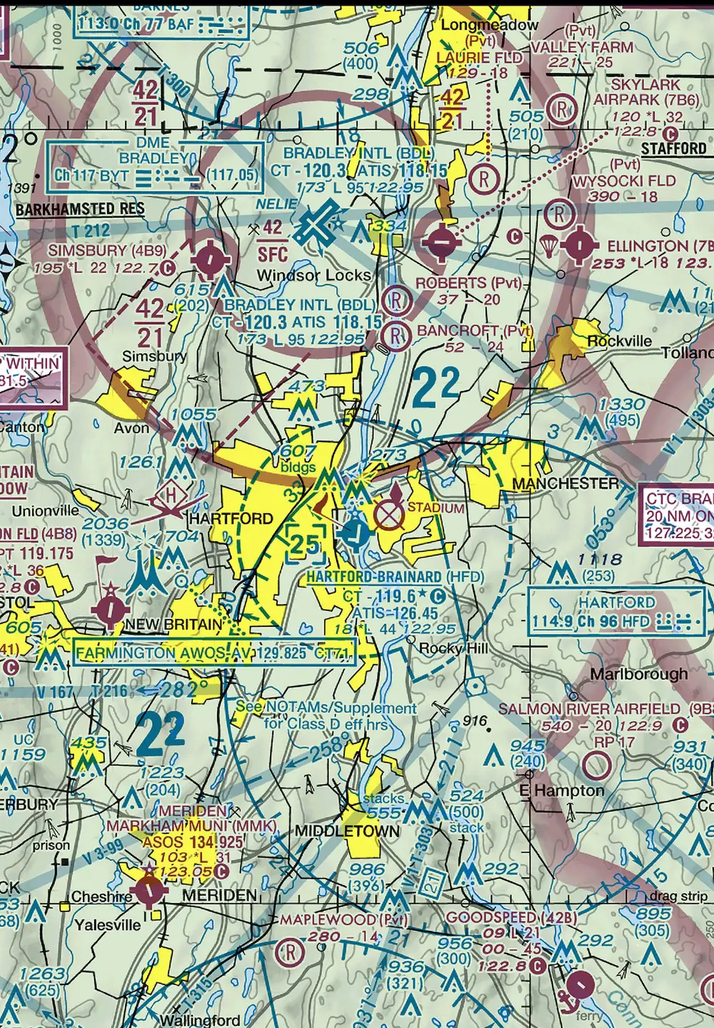
Drag to move the chart, or use the arrow keys; Shift with an arrow moves further and Home returns to the start. Tab reaches five airports; Enter opens one; Escape closes its card.
One screen: Hartford-Brainard
The airport page for KHFD on an iPad, as the app shows it. Five numbered parts.
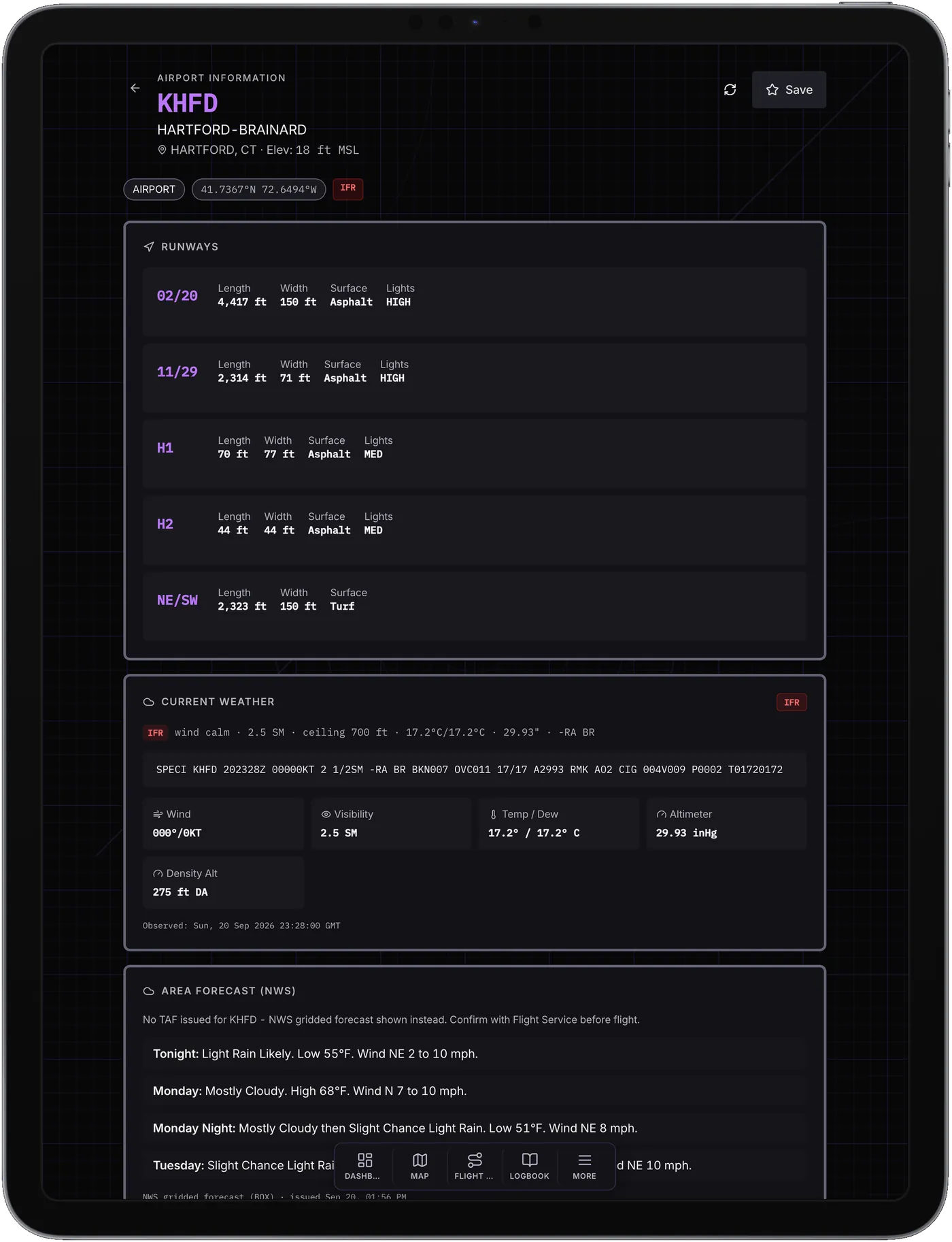
1. Flight category
LIFR, IFR, MVFR or VFR from the current observation, on the airport page and on the map's airport card.
2. Runways
Each runway and helipad with its length, width, surface and lighting where it has any.
3. The observation
The raw METAR or SPECI, decoded: wind, visibility, temperature and dew point, altimeter.
4. Density altitude
Worked out from the observation and the field elevation.
5. Forecast
The TAF, or the NWS area forecast where no TAF is issued, as at Brainard.
Without signal
Pilots fly without signal. Here is what keeps working and what does not.
Works with no signal
- ATC transcription. It runs on the phone.
- Charts you downloaded: sectionals, IFR low and high, and plates. The first time you open the app it offers the charts for the lower 48, and it reminds you that nothing is downloaded until at least one region is on the device.
- Your logbook to read, your aircraft and checklists, the last three plans you opened, and weight and balance.
- You stay signed in.
Needs a connection
- New weather. Reports you fetched earlier stay on the device, shown with their observation time.
- NOTAMs and TFRs.
- Logging a flight.
- Downloading or updating charts.
- The optional cleanup of a transcript.
- Community and the marketplace.
Built by pilots for pilots.
Base is free, with no ads, on iPhone, iPad, Android and Mac. See what each plan includes. Planning from a desk? Get the Mac app.